
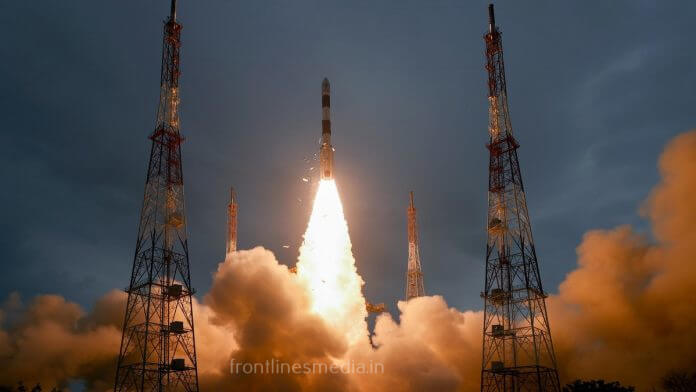
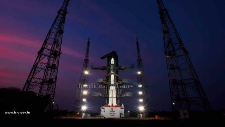
For Cartosat 3, ISRO has used PSLV (Polar Satellite Launch Vehicle). It is used for delivering various satellites to low earth orbits. It is designed mainly to deliver “EARTH’S OBSERVATION” & “REMOTE SENSING”.
CARTOSAT-3:
It is a third-generation agile advanced satellite having high resolution and imaging capability. The satellite was placed in an orbit of 509 km at an inclination of 97.5 degrees.
Cartosat satellites are a series of Indian Earth observation satellites built and operated by ISRO. The cartosat series is a part of the Indian Remote Sensing Program. They are used for Earth’s resource management defense service and monitoring.
The images which you see today in GOOGLE MAPS is because of CARTOSAT Satellites. We get the detailed and perfect pictorial representation of all the works going on in India.
Coming to CARTOSAT 3, if you are in Hyderabad and you having an object of 25cm object, even that can be tracked by the CARTOSAT Satellite. ISRO chairman SHIVAN sir said that this is the high-quality resolution satellites that India ever produced.
America’s private astronaut companies have sent 12 satellites of them with ISRO today. Even there are many space centers in the World. America chose ISRO as we are more affordable and has a very good success rate.