
India’s Own Navigation System – NavIC
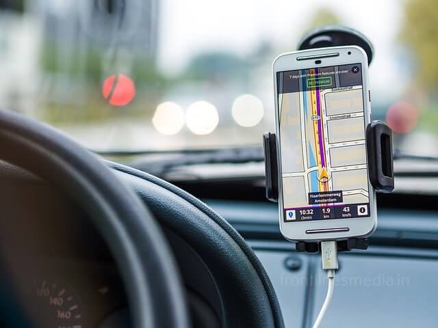
Nowadays you need not worry about reaching your destination in an unknown place,
All thanks to google maps.


Who is helping google in doing this? I mean how is it locating your position and guiding you?
This is all done by GPS

GPS stands for – “Global Positioning System”.
- GPS has been created by the USA and is in use since 1973, providing its services to the USA and many nations across the Globe.
- India has also been using American GPS for various purposes including defense purposes.
- But there are always hurdles and limitations when you use the third nation’s resources.
- The best example being the USA denying from providing GPS information to India during the 1999 Kargil war.
- This made India realize the immediate need of having its own navigation system.
- The government of India approved the project to build its own Navigation system in May 2006. This lead to the formation of India’s own navigation system IRNSS (Indian Regional Navigation Satellite System) it was later given an operational name NavIC which stands for Navigation with Indian Constellation.
Indian Space Research Organisation (ISRO) was given the responsibility of setting up the required infrastructure for IRNSS.
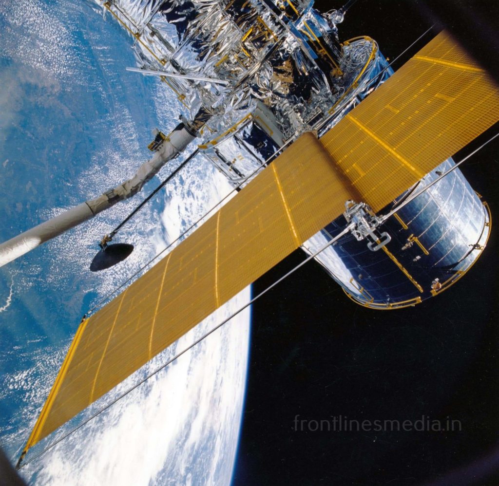
ISRO opened a new satellite navigation center within the campus of ISRO Deep Space Network (DSN) at Byalalu, in “Karnataka on 28 May 2013 and started work for building IRNSS with a budget estimate of INR 1420 crores.“ ISRO has planned a set up with 7 satellites and 21 network stations across the nation for navigation purposes.

ISRO named the satellites with IRNSS in the prefix and sent the first satellite in this series IRNSS-1A on July 1, 2013, and completed this process by April 28, 2016, by successfully launching the seventh satellite IRNSS-1G and proposed to bring IRNSS to public use by early 2018, but due to Atomic clock failures in IRNSS-1A it became necessary to replace it.
To replace IRNSS-1A ISRO sent IRNSS-1H this also failed due to failure in the launch process. Later ISRO successfully sent IRNSS-1I on April 12, 2018, to replace IRNSS-1A, thus successfully accomplishing the mission.
Indian Army has already made it’s systems compatible with NavIC. At present many academic institutes across the nation are studying the signaling of NavIC. It is soon expected to be ready for public use.
Advantages over GPS and Reach:-
American GPS uses a 24 satellite system to do positioning all over the globe making it less accurate, as of now, GPS provides information with a 20-30 meter accuracy. Where has India is using 7 satellites only over India this improves accuracy, it can provide information with an accuracy of 5 meters.
NavIC reach is stretched up to a radius of 1500 km around India and it is soon planning to make its use global.

India has now become one of the four nations which have their own positioning system, after the USA, European Union, and USSR.

– YARAMAREDDY HRITHIK REDDY VNIT, NAGPUR.